Quite frankly, I’d had enough.
You will have noticed from my posts that I’d done a bit of travelling since COVID travel restrictions had begun to roll back in 2021. And it’s something I love and I hope I’ll always be grateful for having the opportunity to go off and enjoy these adventures.
As 2022 rolled into view I hoped that some decent degree of normality would have returned by summertime and there were a stack of places I wanted to see. But normality wasn’t quite, well, normal. It wasn’t just the insanity in Ukraine and the consequent hike in fuel prices, although they didn’t help. As demand picked up again, the airline industry had real problems getting in the staff they needed. Some airports cut their slots and airlines cancelled whole tranches of summer flights. And for those passengers who managed to get a flight, the staff shortages meant their problems were only beginning.
In the distant past, in other words three years ago, it was simple. You’d look for somewhere to go, you booked a trip at a reasonable price, and then you’d sit back and look forward to the whole magical sequence of arriving at your swanky departure terminal, ready to be whisked through check-in and security and through to your gate, giddy with anticipation. Now, after finding one of the few flights available and paying the extra cost, you sit back and wait for the worrying email from the airline recommending that you better check your wheelie bag in. Once the morning arrives, your excitement on discovering that your flight hasn’t been cancelled is tempered when you remember that email. Why would they want to put more pressure on the understaffed baggage handling? Could it be … good God! … and then you remember those social media photos of humongous security queues stretching back out of the terminal all the way back to the gates of Hell itself.
So you resolve to take the advice you never had to take seriously before, and get to the airport three hours before your flight. Shaken with stress you survive security and eventually you get to the gate, and they are indeed carrying out a purge of the wheelie bags. Fortunately your seat is not affected and you, lucky traveller, are granted the humbling privilege of being allowed to take your cabin luggage into the cabin. But unfortunately the flight is late. After all that, you eventually limp down the jetty and make it to your seat, time to relax at last, sit back, and smile, as the plane pushes back, roars down the runway…and helps destroy the planet with its carbon emissions.
Some of these things had happened to me this year and I got to the point of not wanting to see the inside of an airport terminal for a long, long time. I’d had enough.
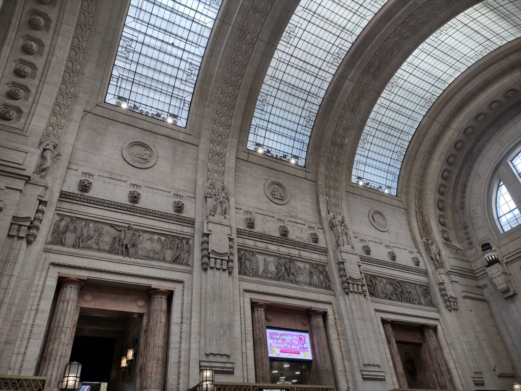
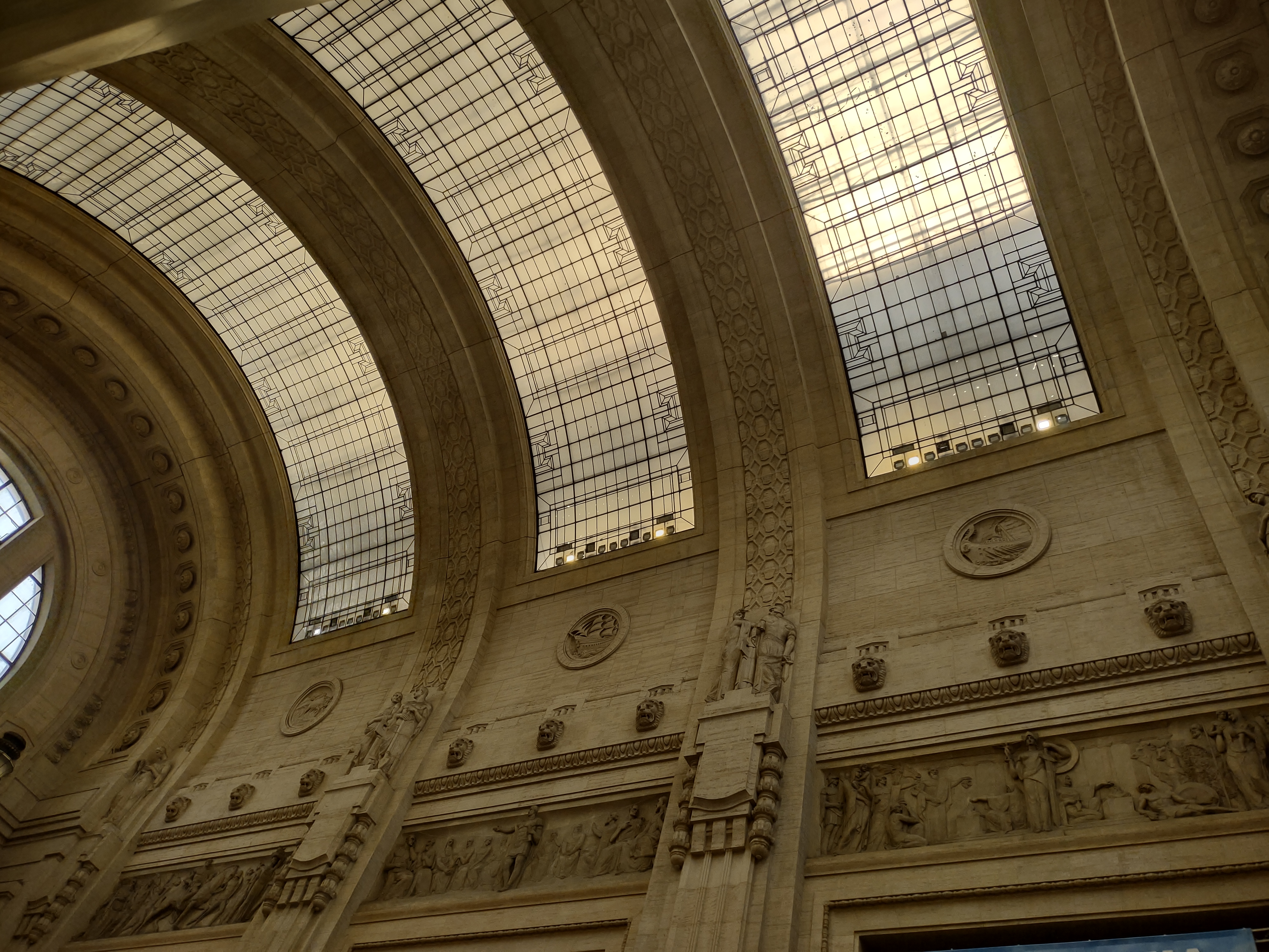
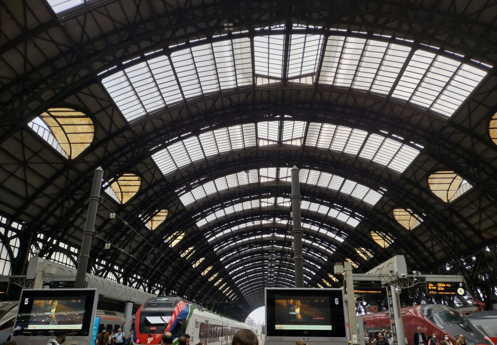
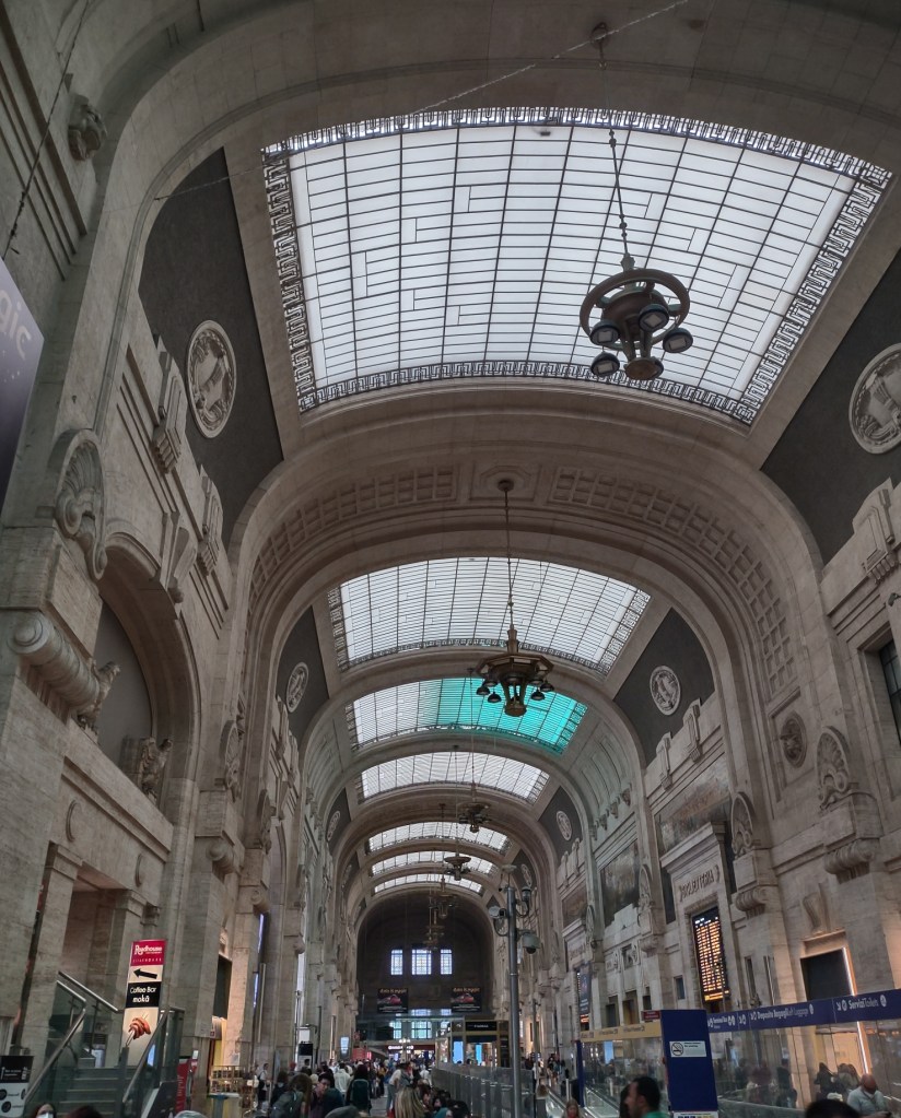
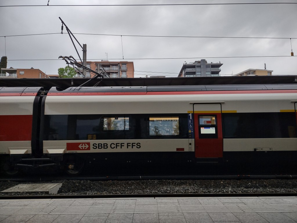
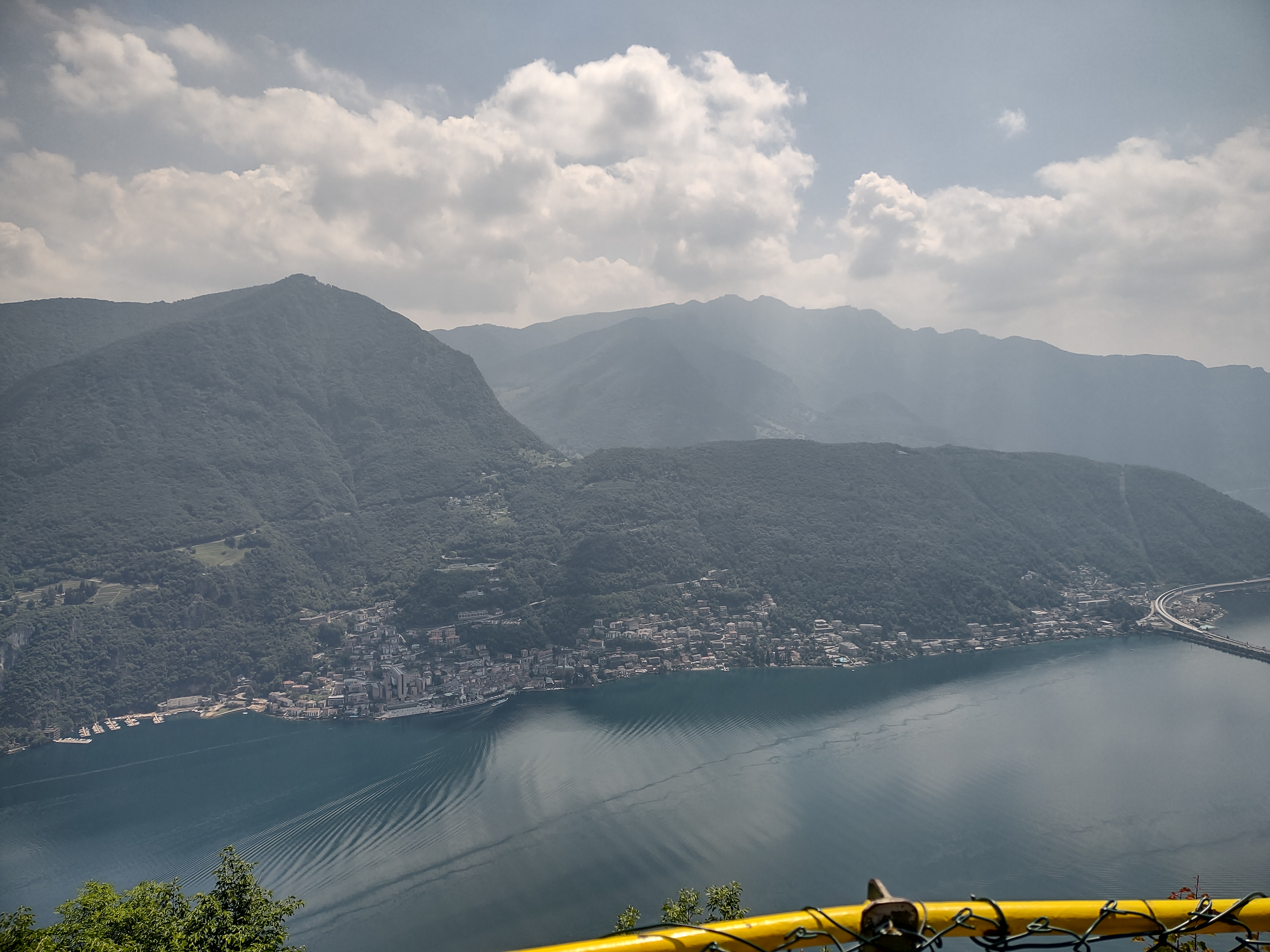
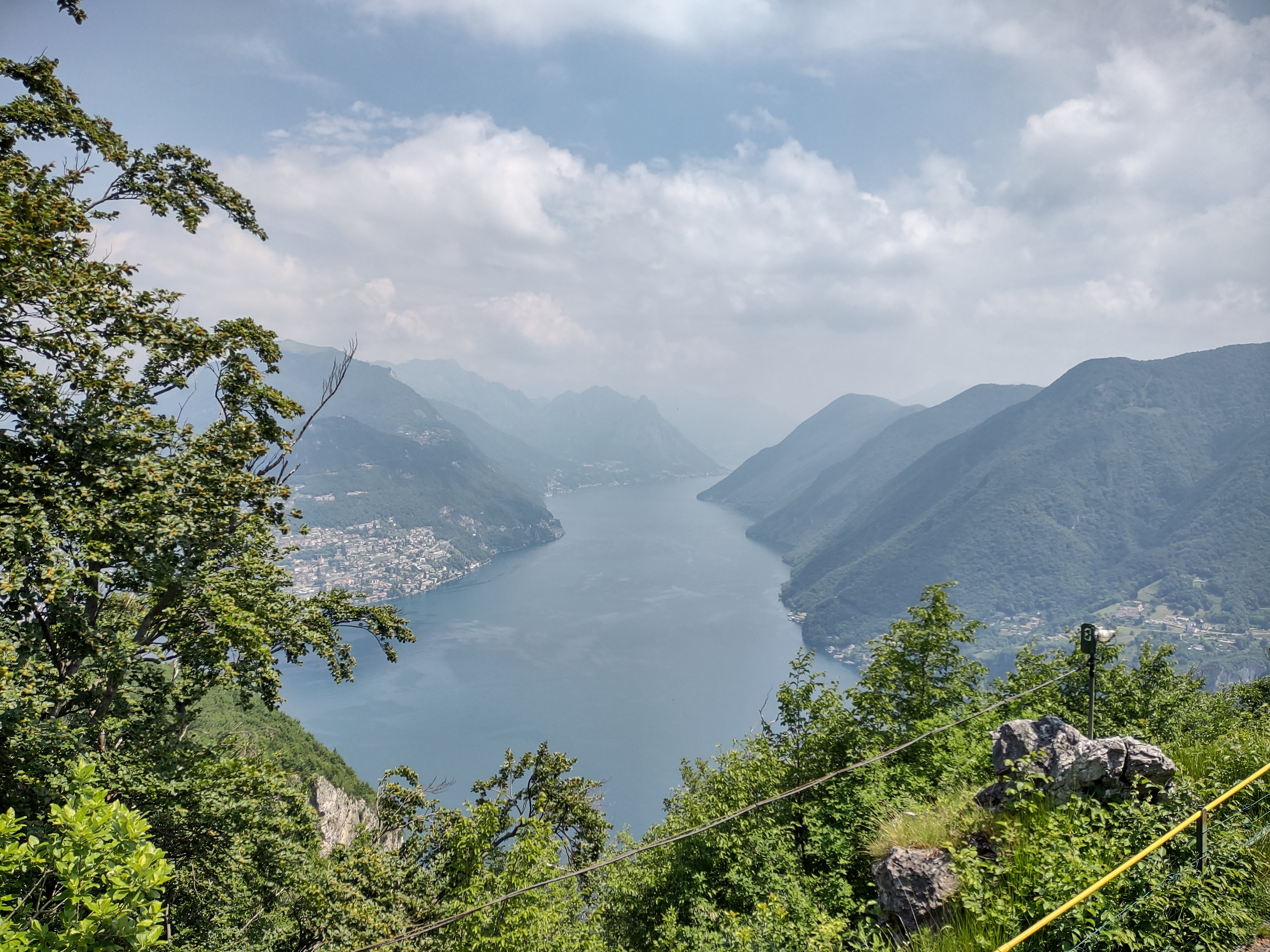
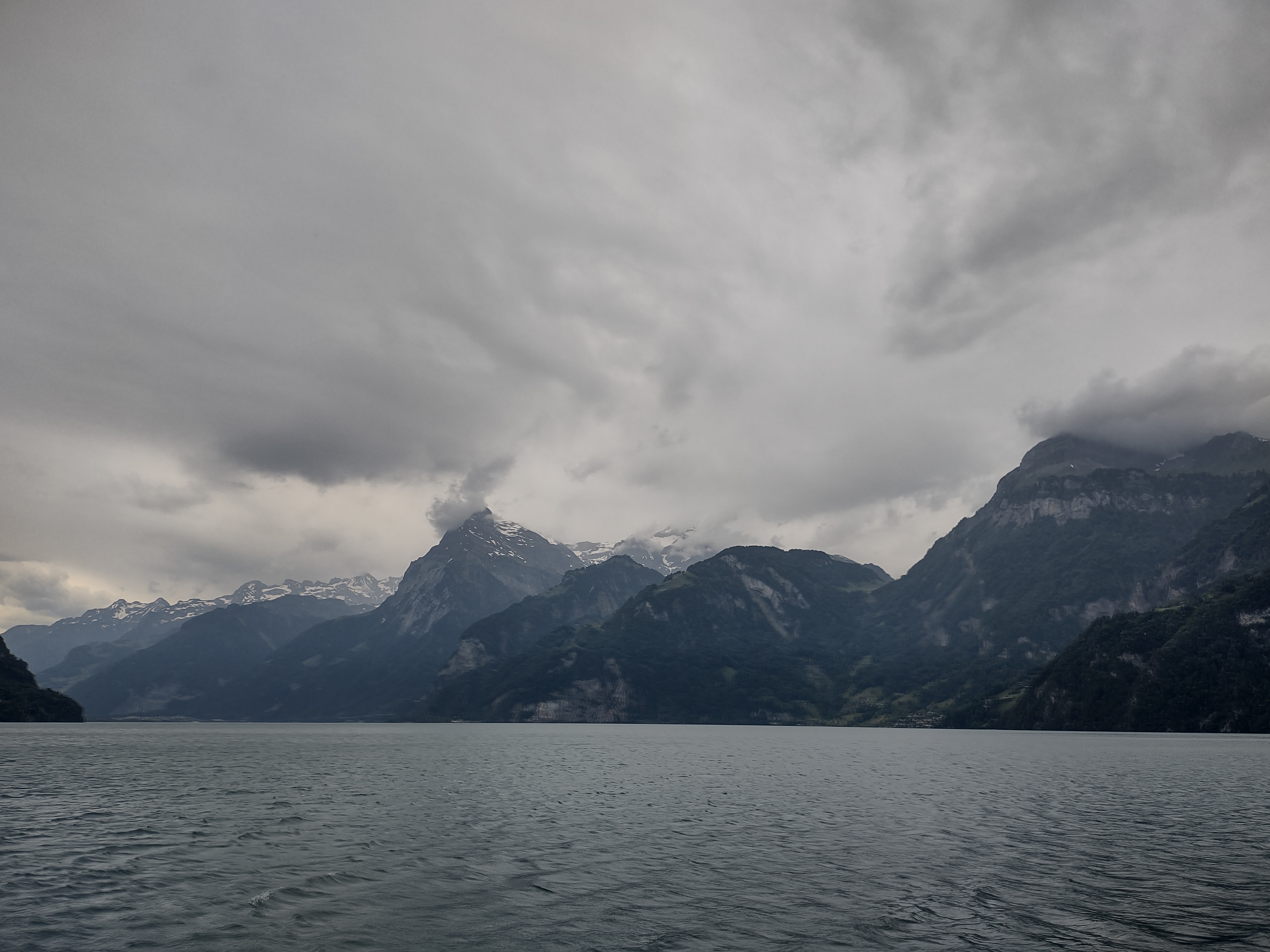
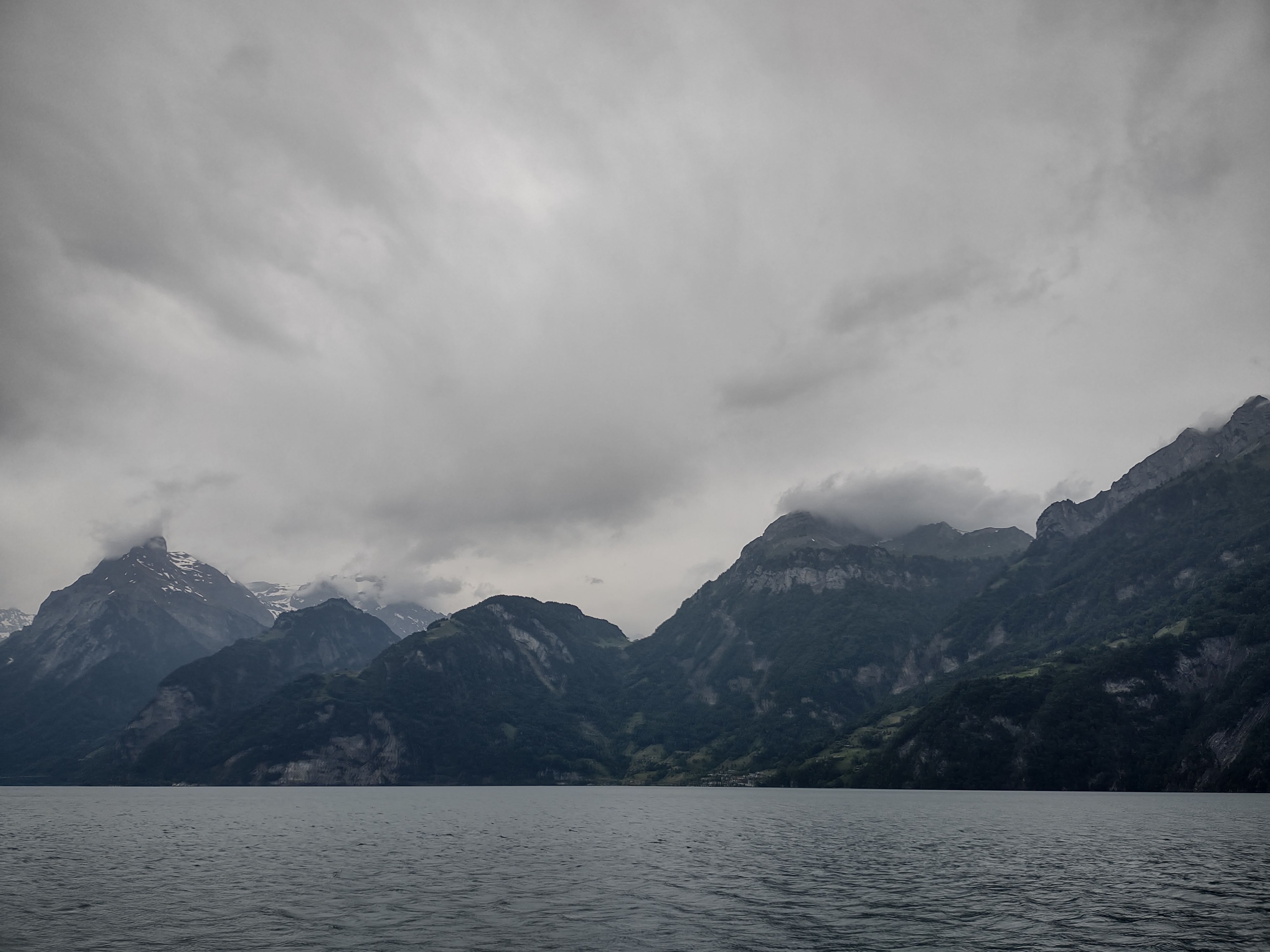
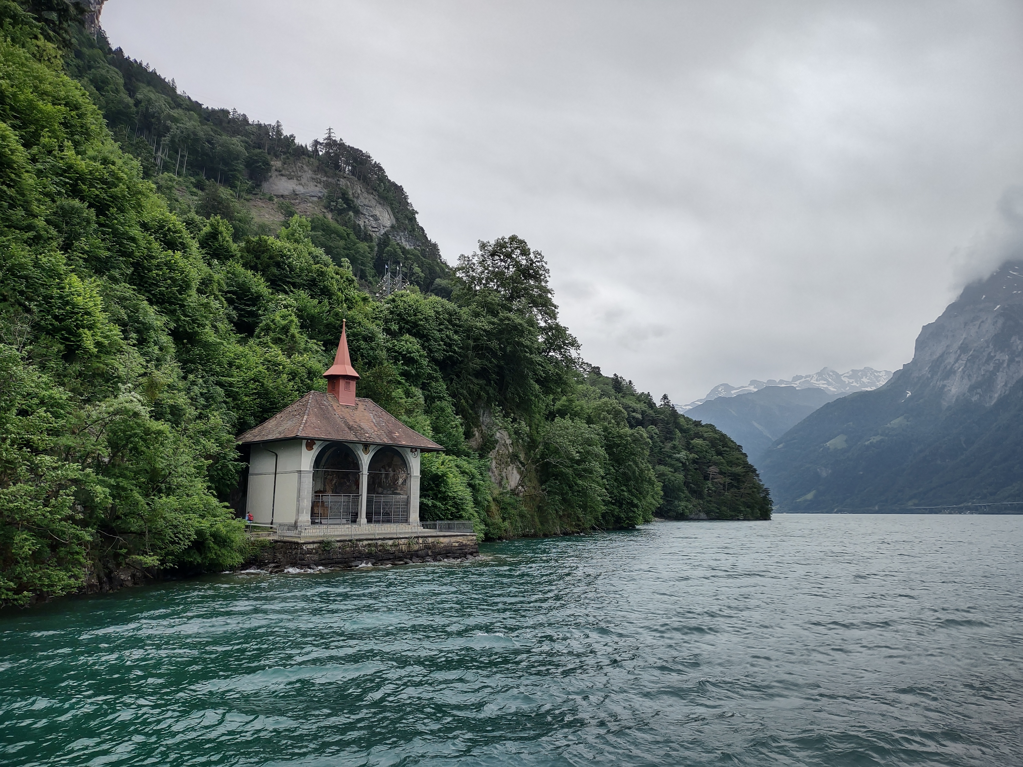
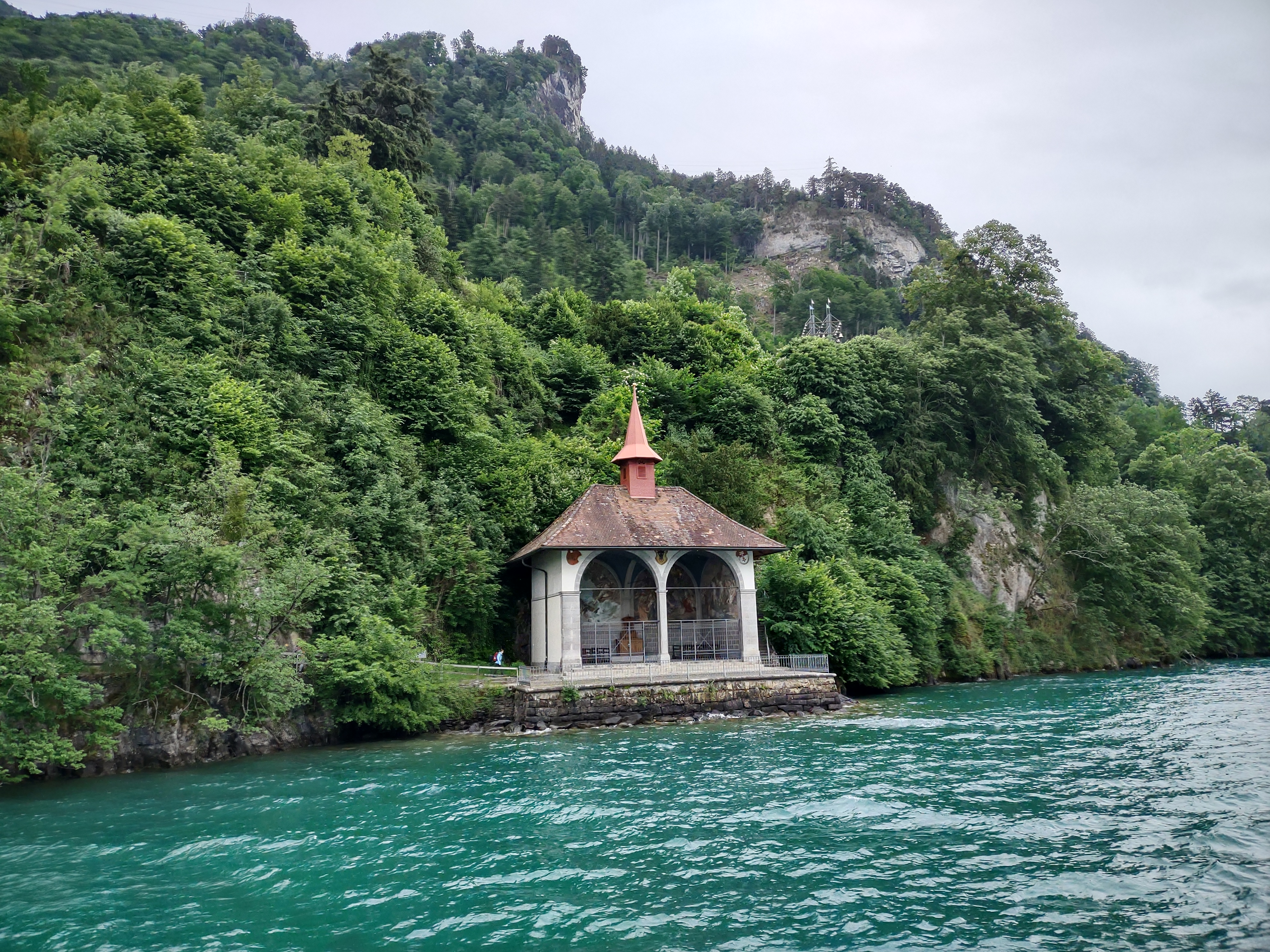
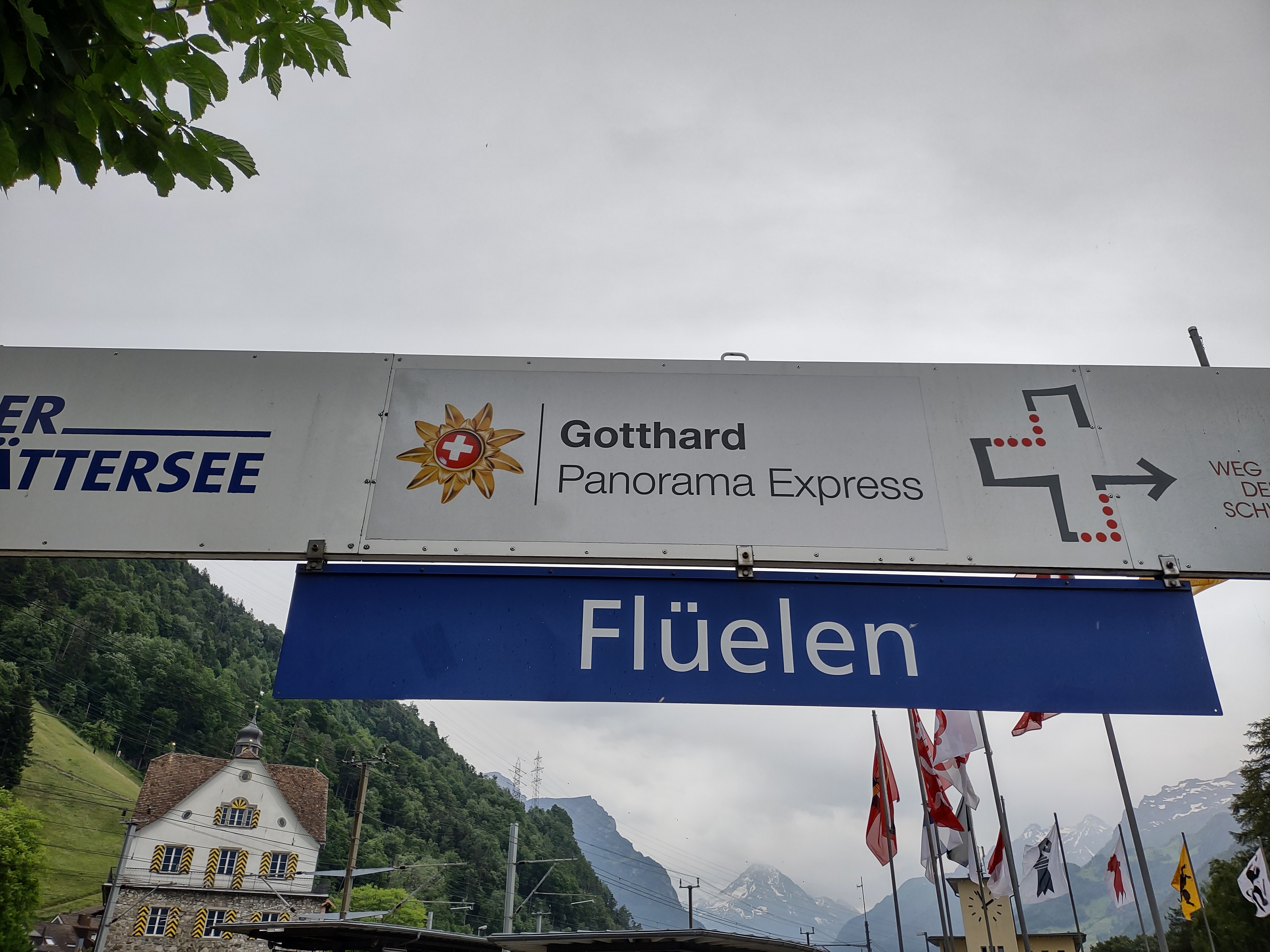
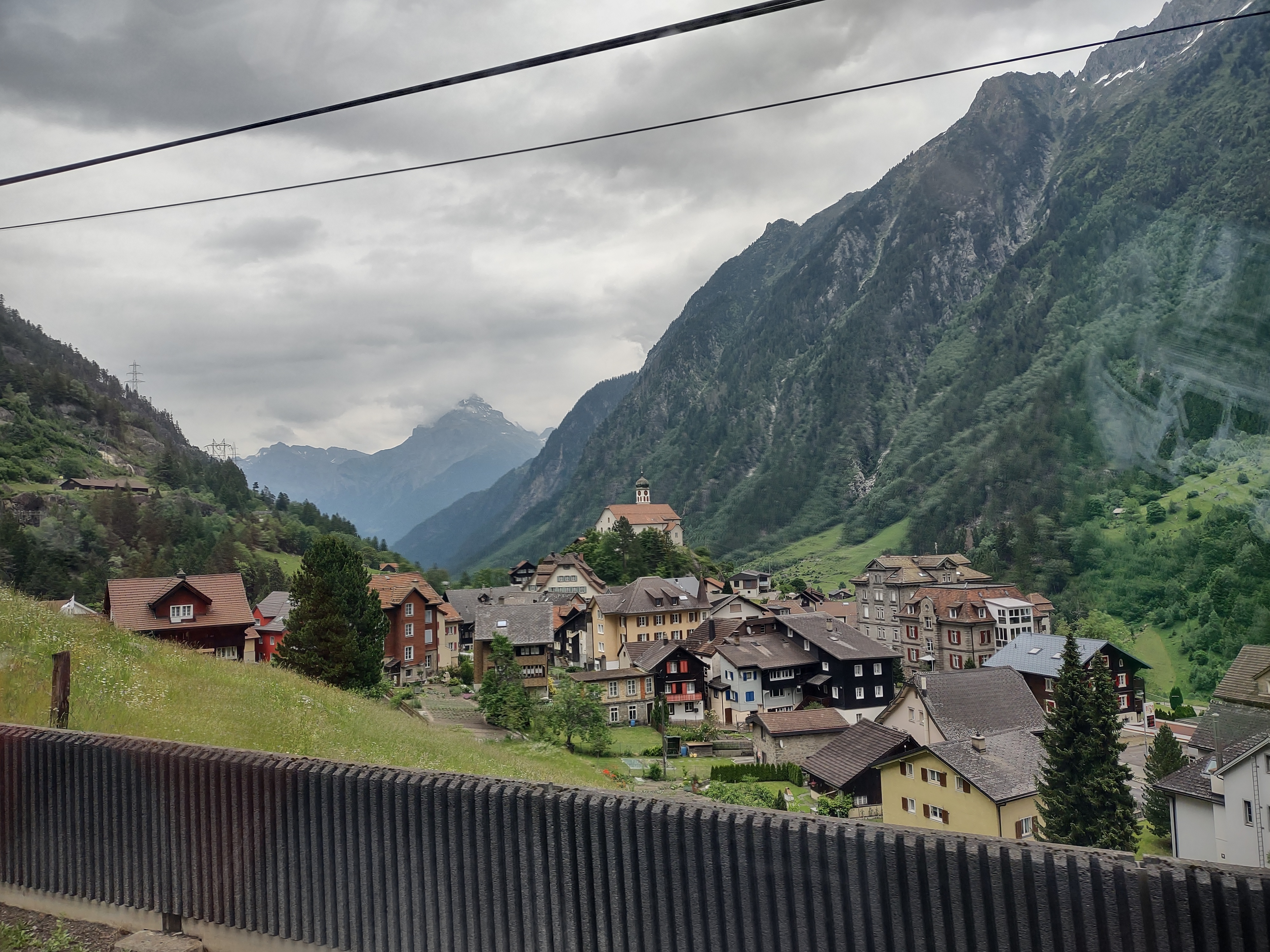
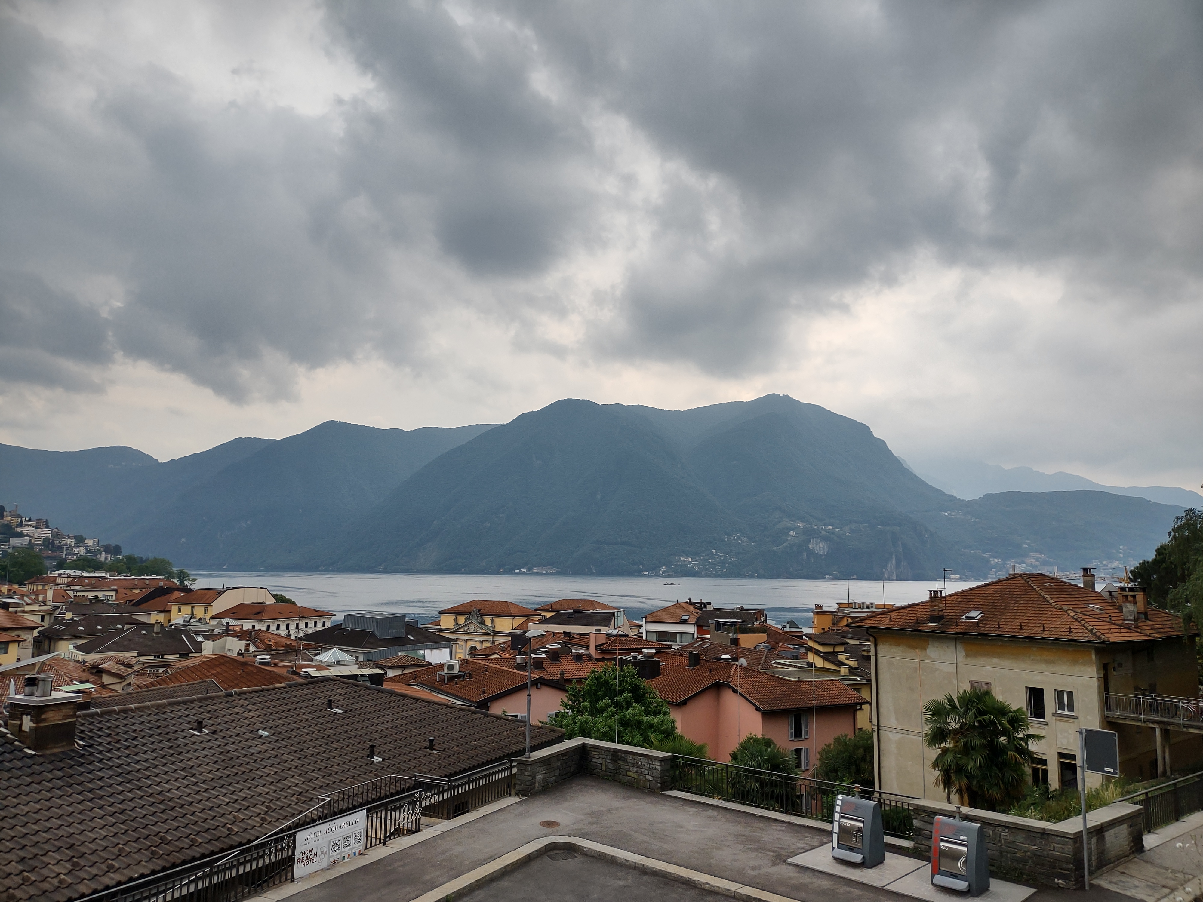
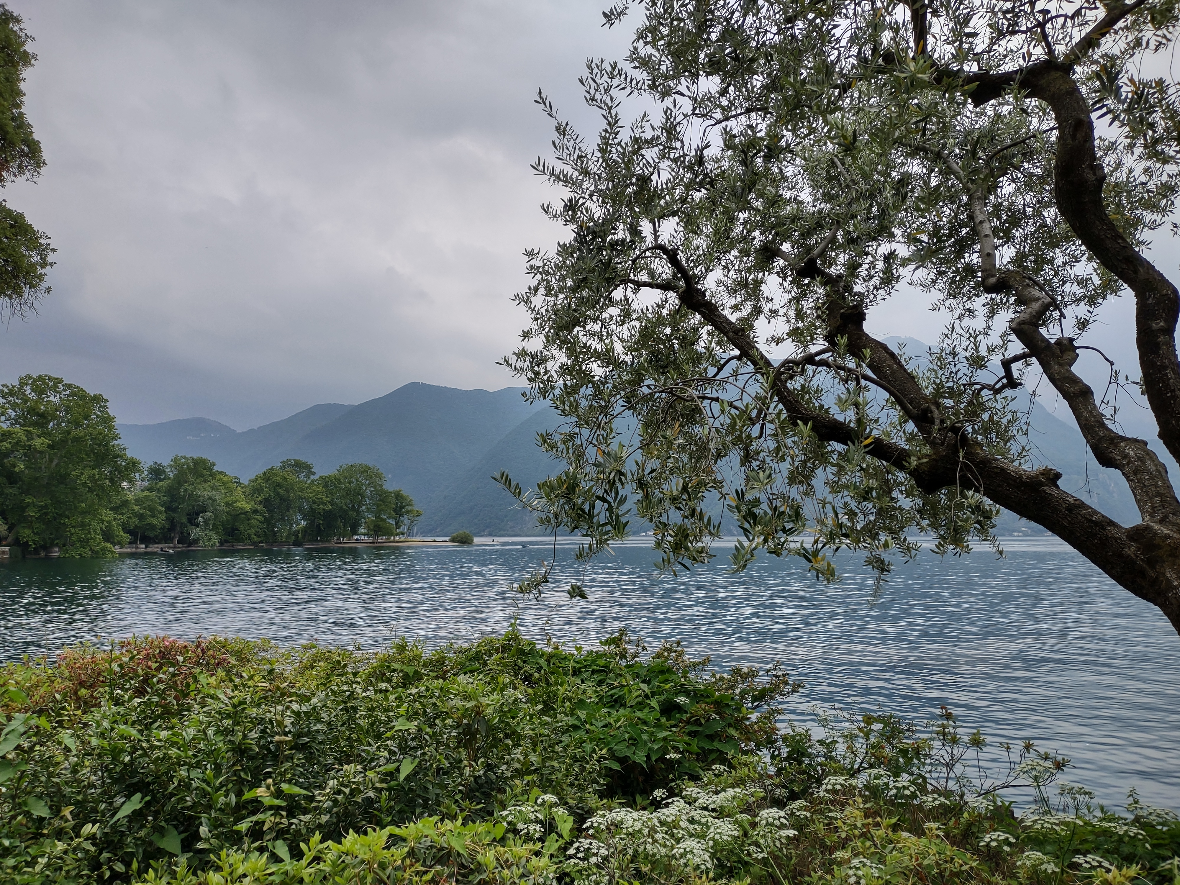
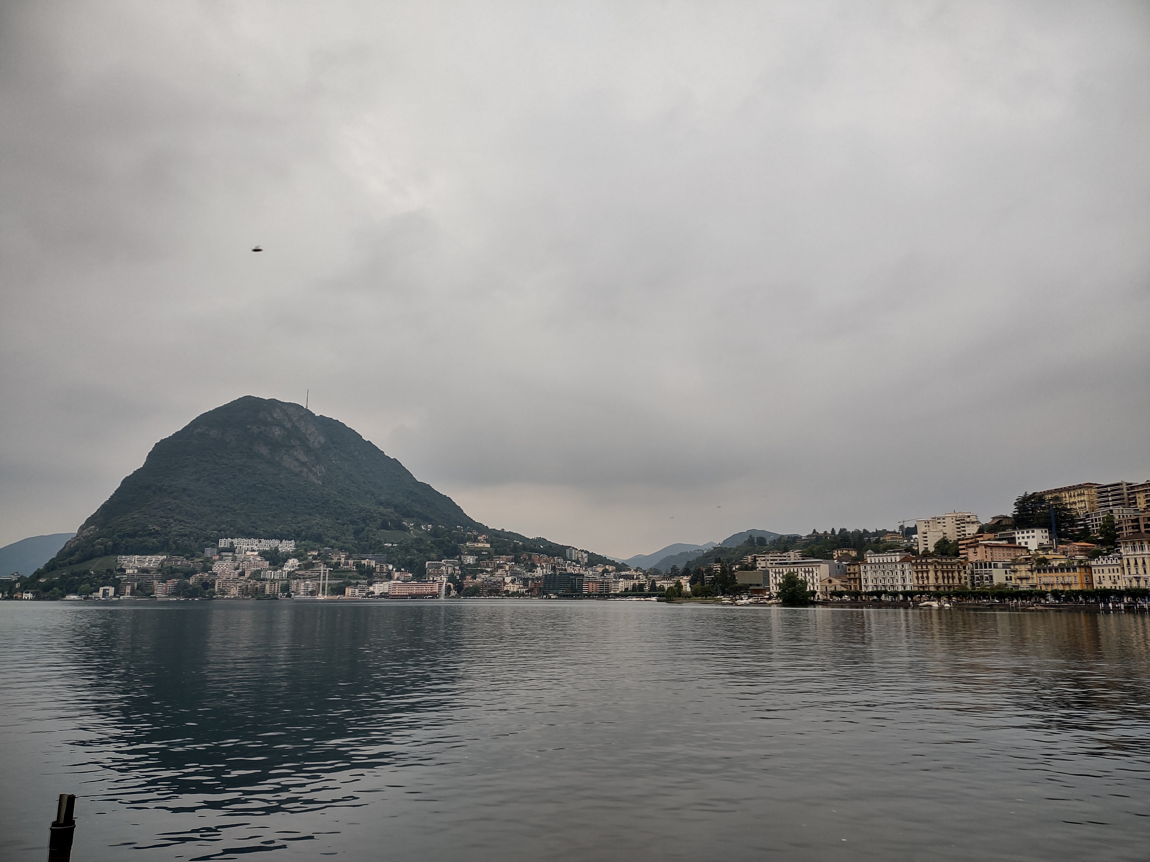
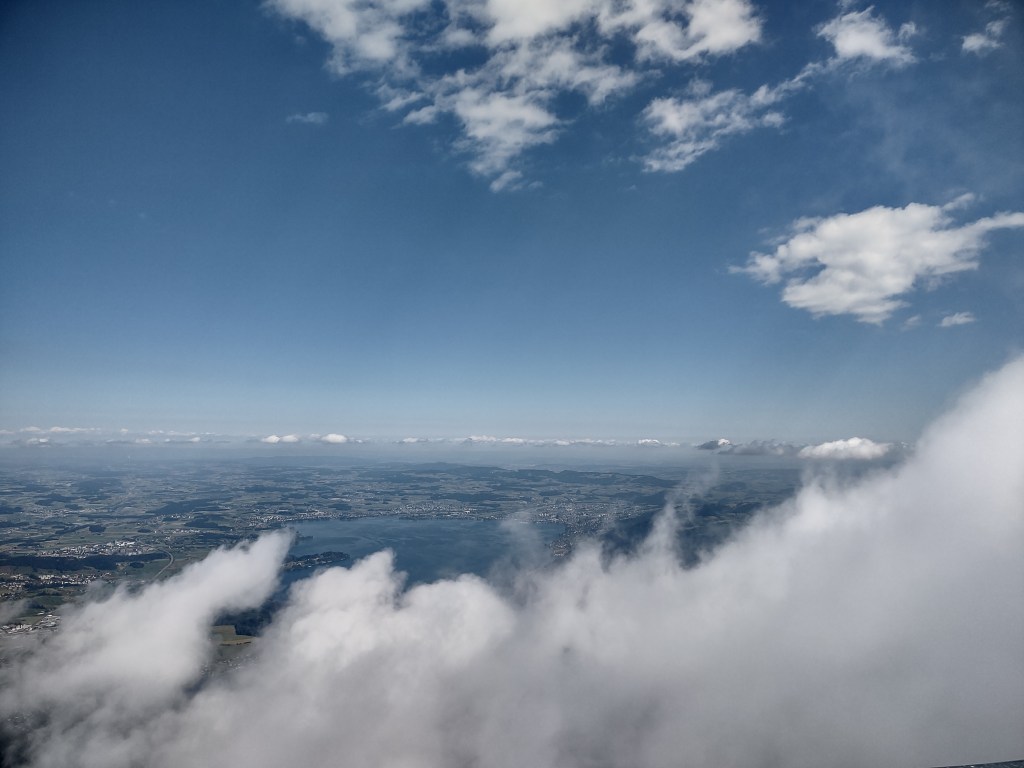
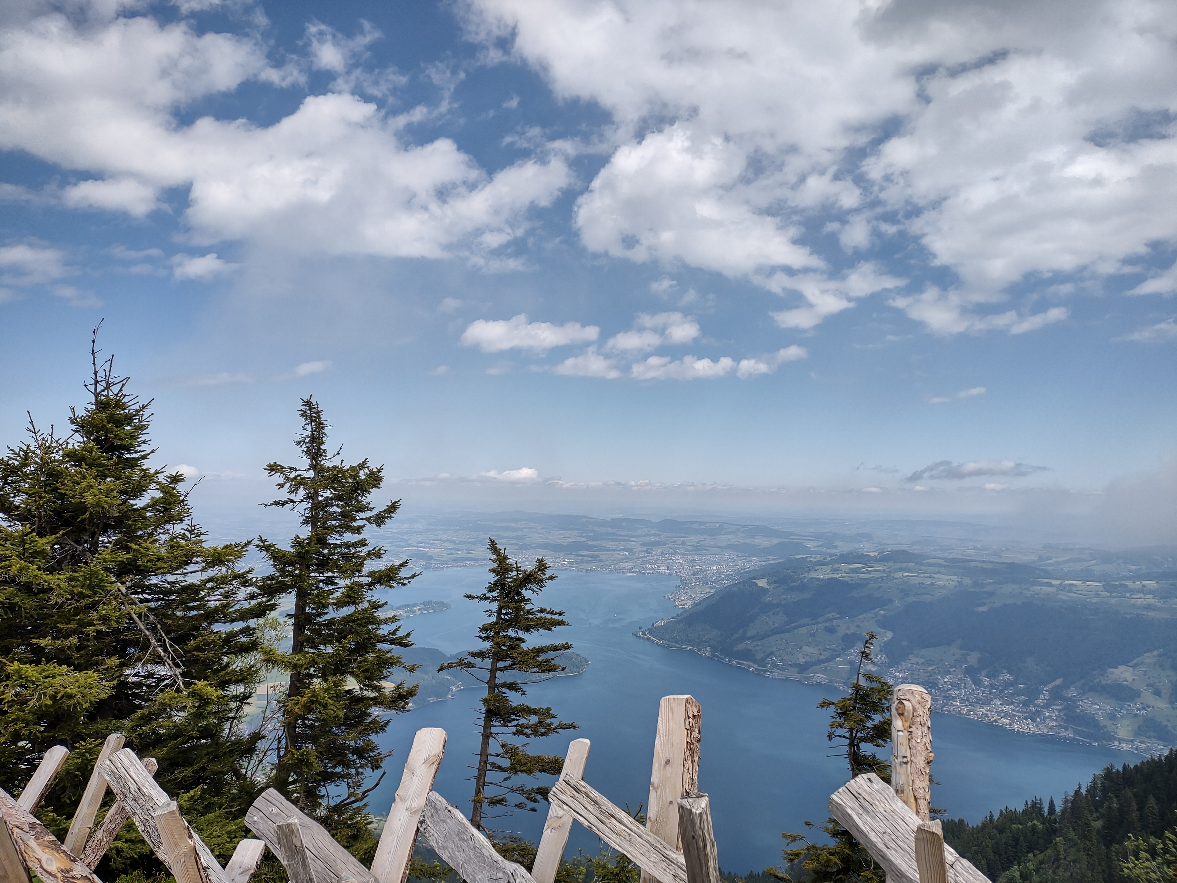
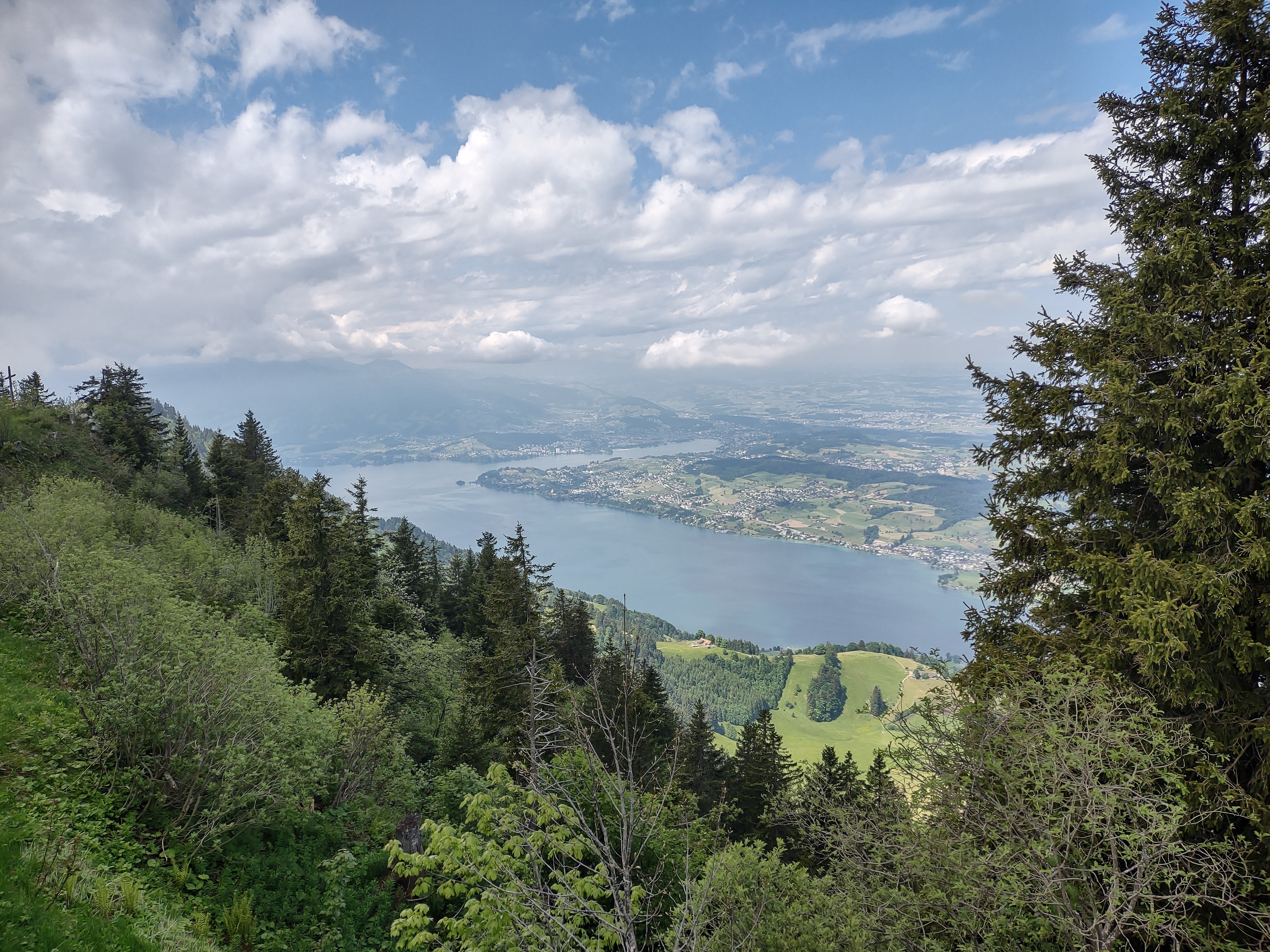
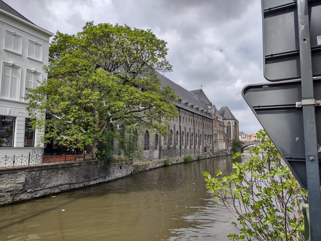
But I still wanted to do one more foreign trip this year, and it was going to have to involve the Eurostar from London St Pancras. And yes, it did mean my options were limited to northwestern Europe (even if I was going to compromise by flying back home from my final stop). But travelling by train offers many benefits of flying, if you’re happy with the extra travel time. It’s more relaxed, more flexible, and you feel more connected to the environment you’re travelling across when you travel through a place instead of over it – the changing landscape as Europe develops before you, the great towns, the pretty villages, the countryside, farms and forests, hills rising above and around you. It’s easier to believe your destination has grown around you organically while you’ve been travelling, rather than something you’ve been plonked into from a great height.
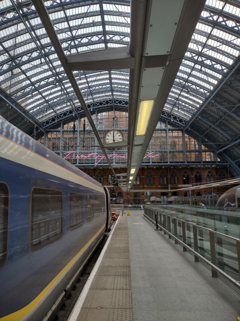
So it was with some excitement that I reached St Pancras and then left the dingy, overcrowded departure hall for the gleaming Eurostar to Brussels, underneath the still glorious station canopy.. A couple of hours later I was skipping off the train and heading for my hotel in the equally dingy Belgian capital for my one-night stay.
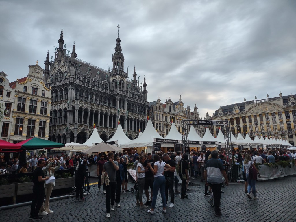
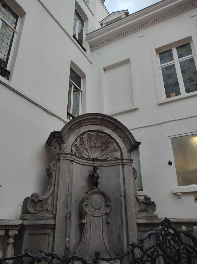
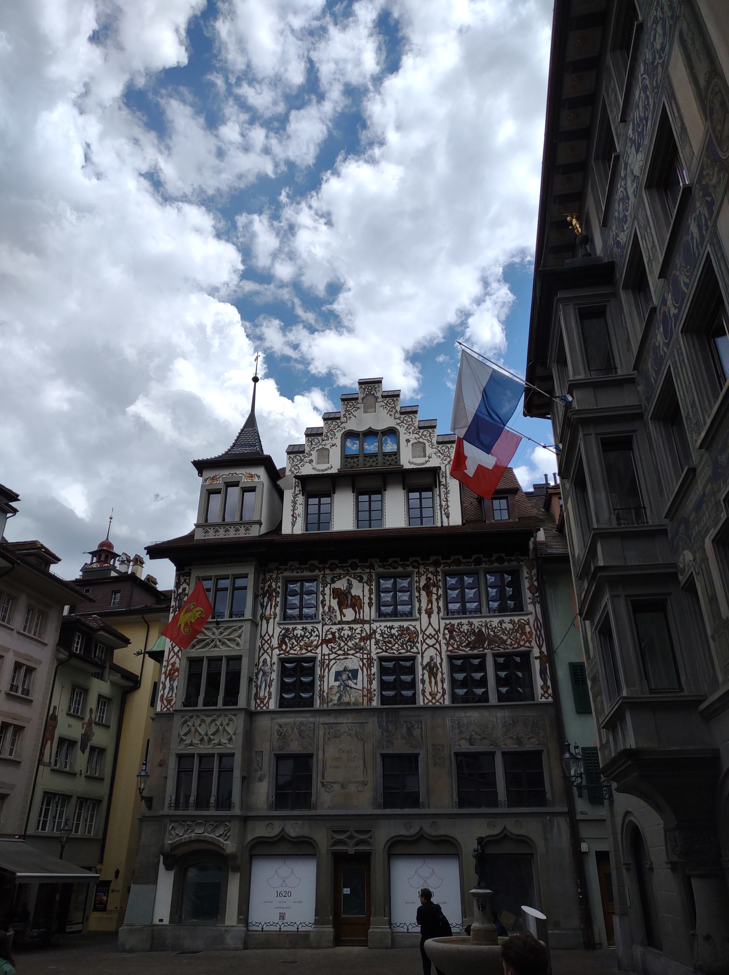
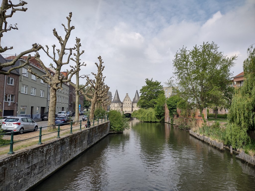
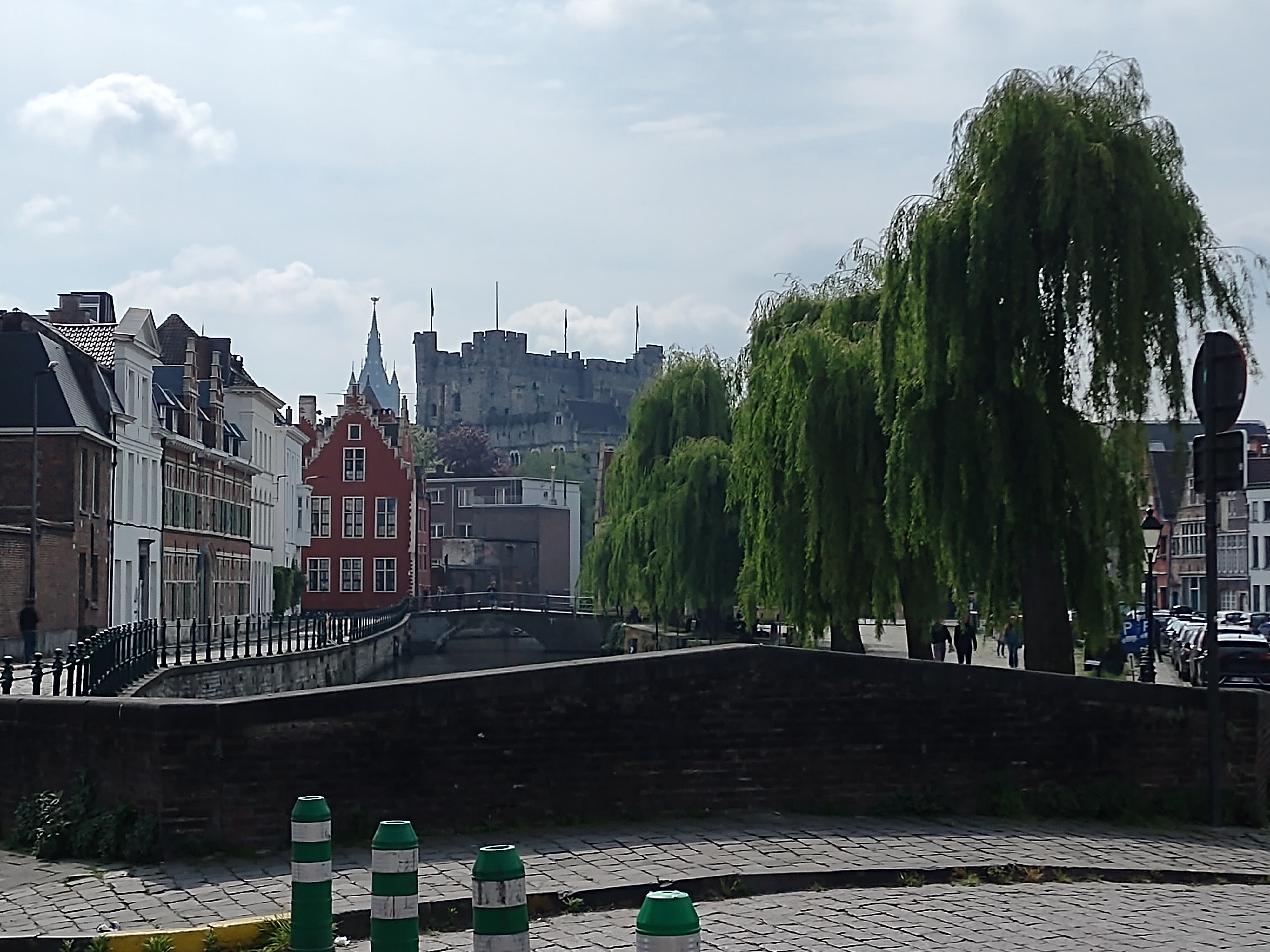
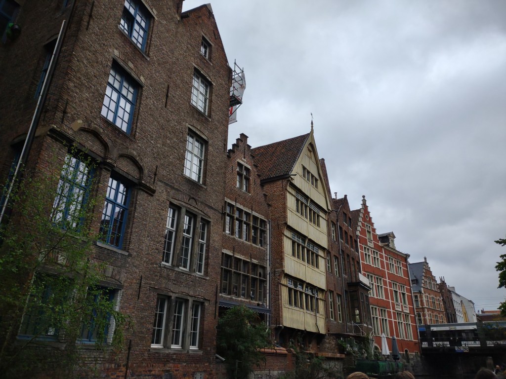
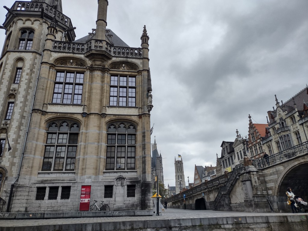
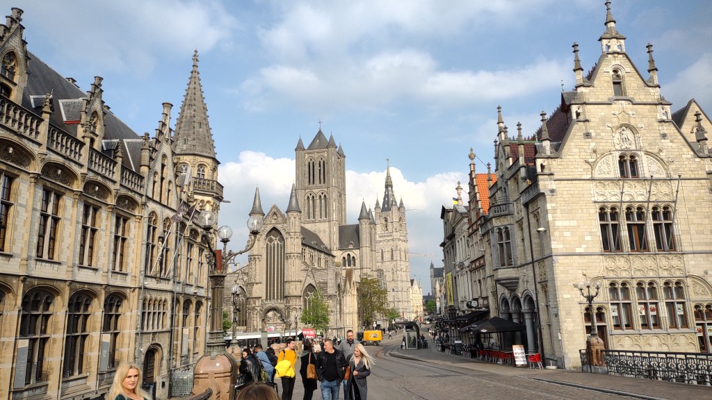
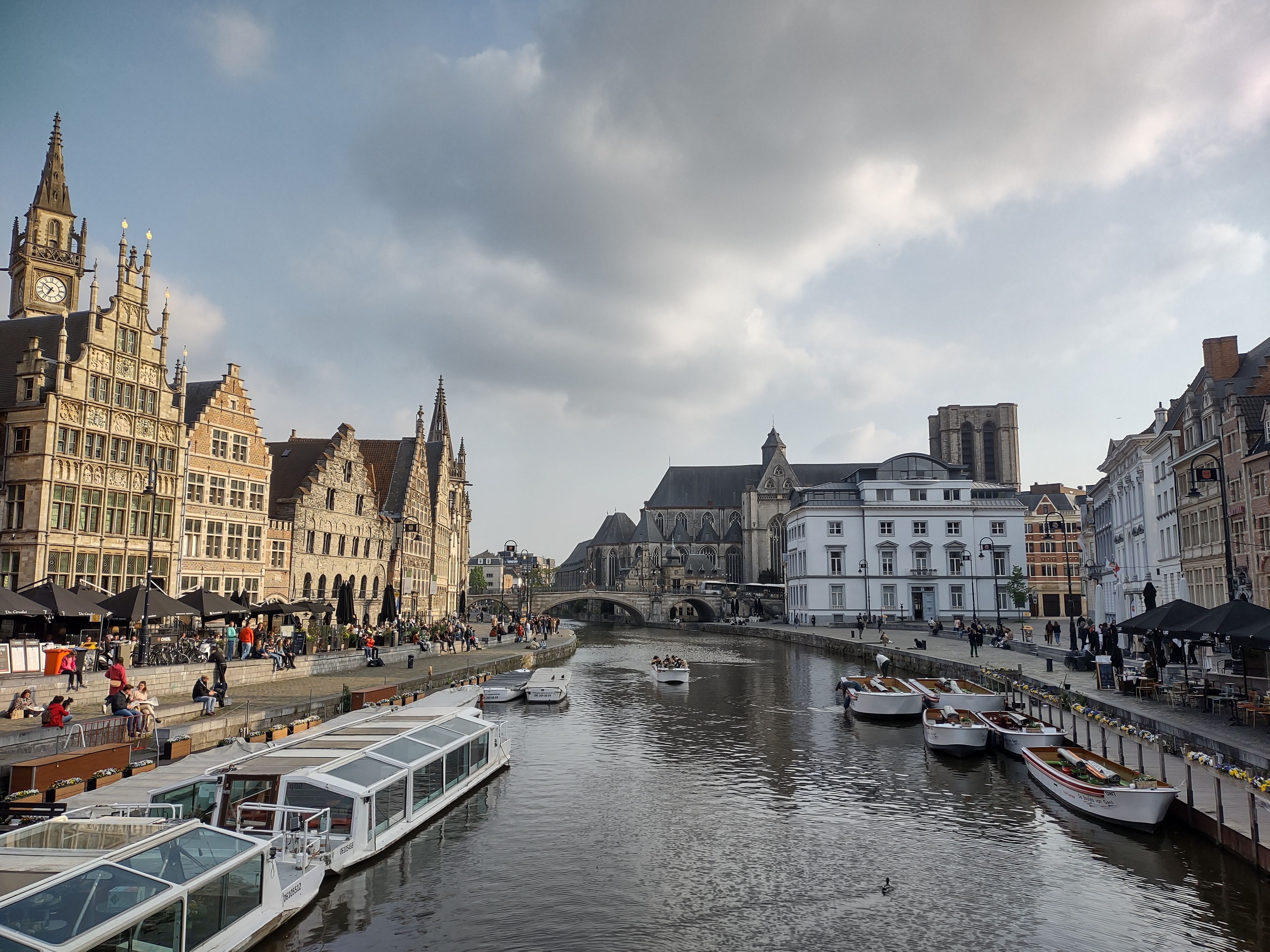
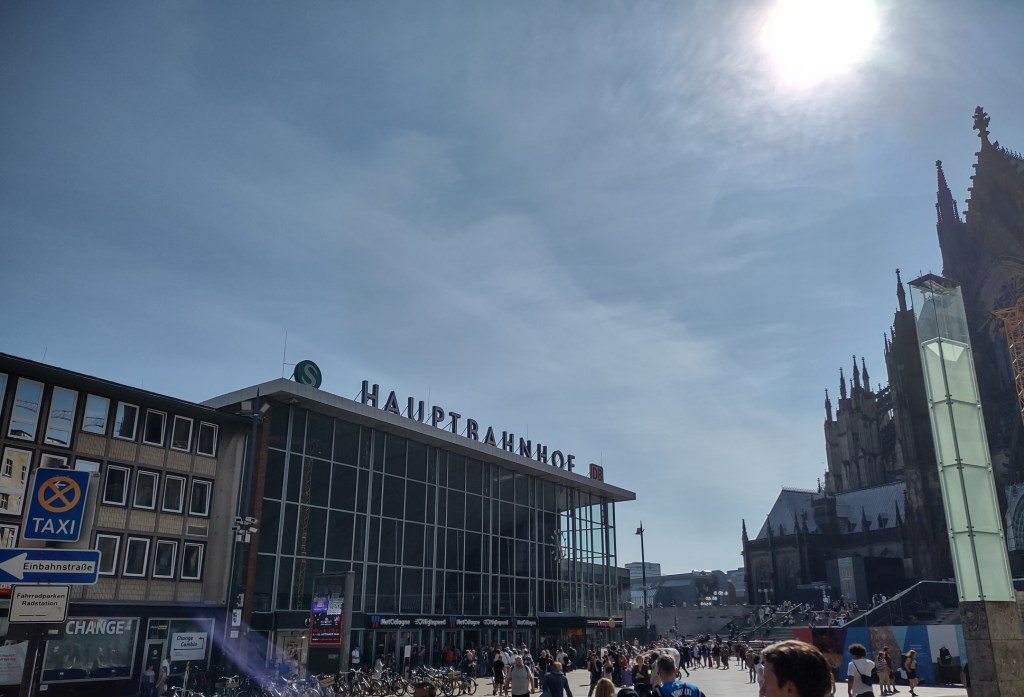
A quick peek at the Grand Place, and then around the corner to the most overrated tourist attraction in all Europe, and back to the hotel. The following morning, I was on my way to Cologne for the first of two nights there before heading off into deepest Germany.

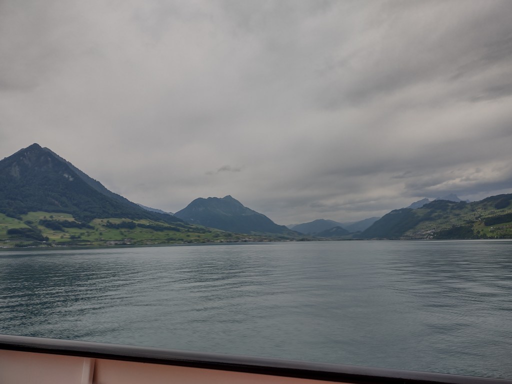
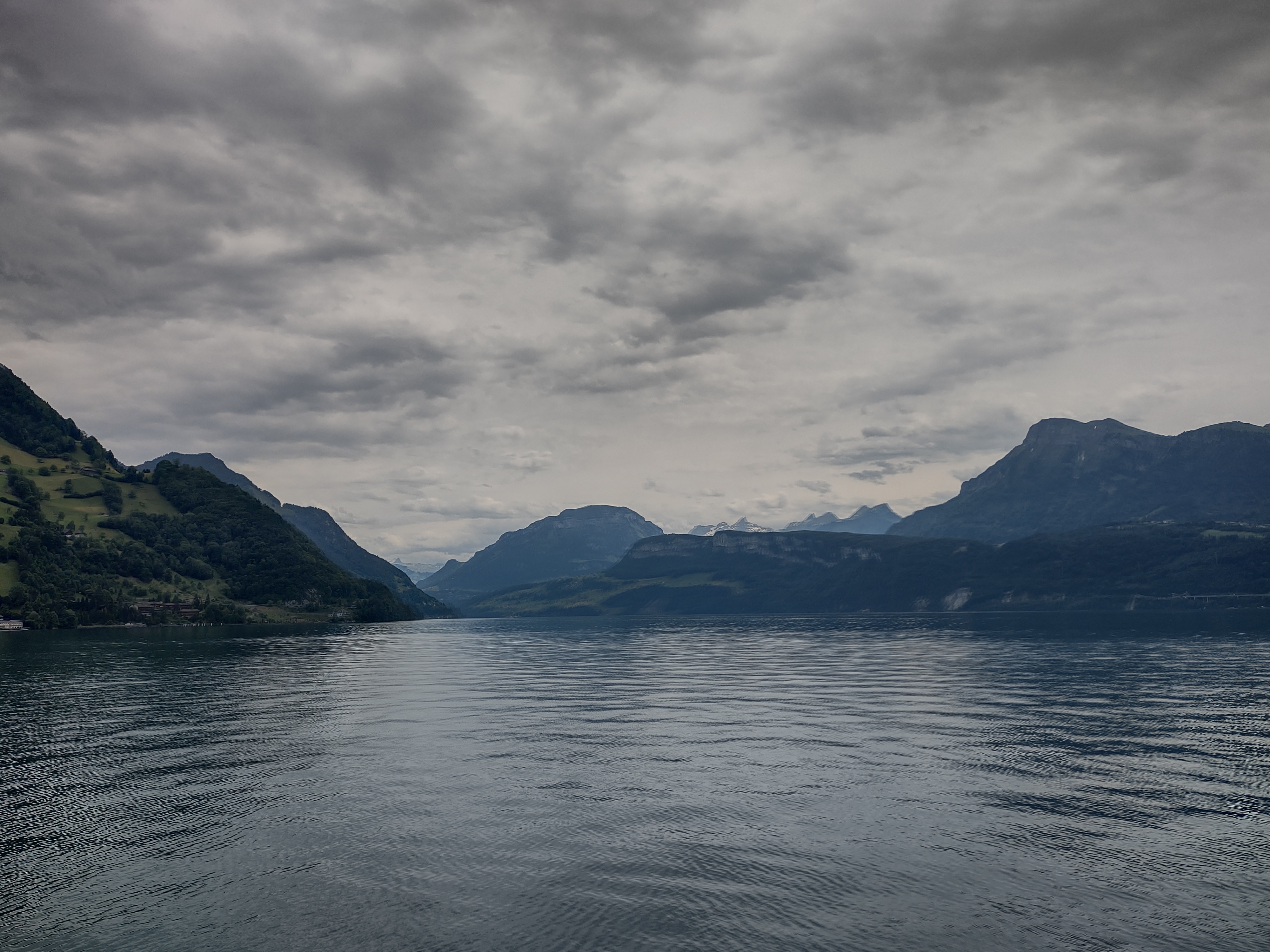
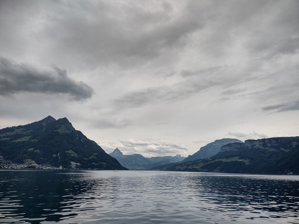
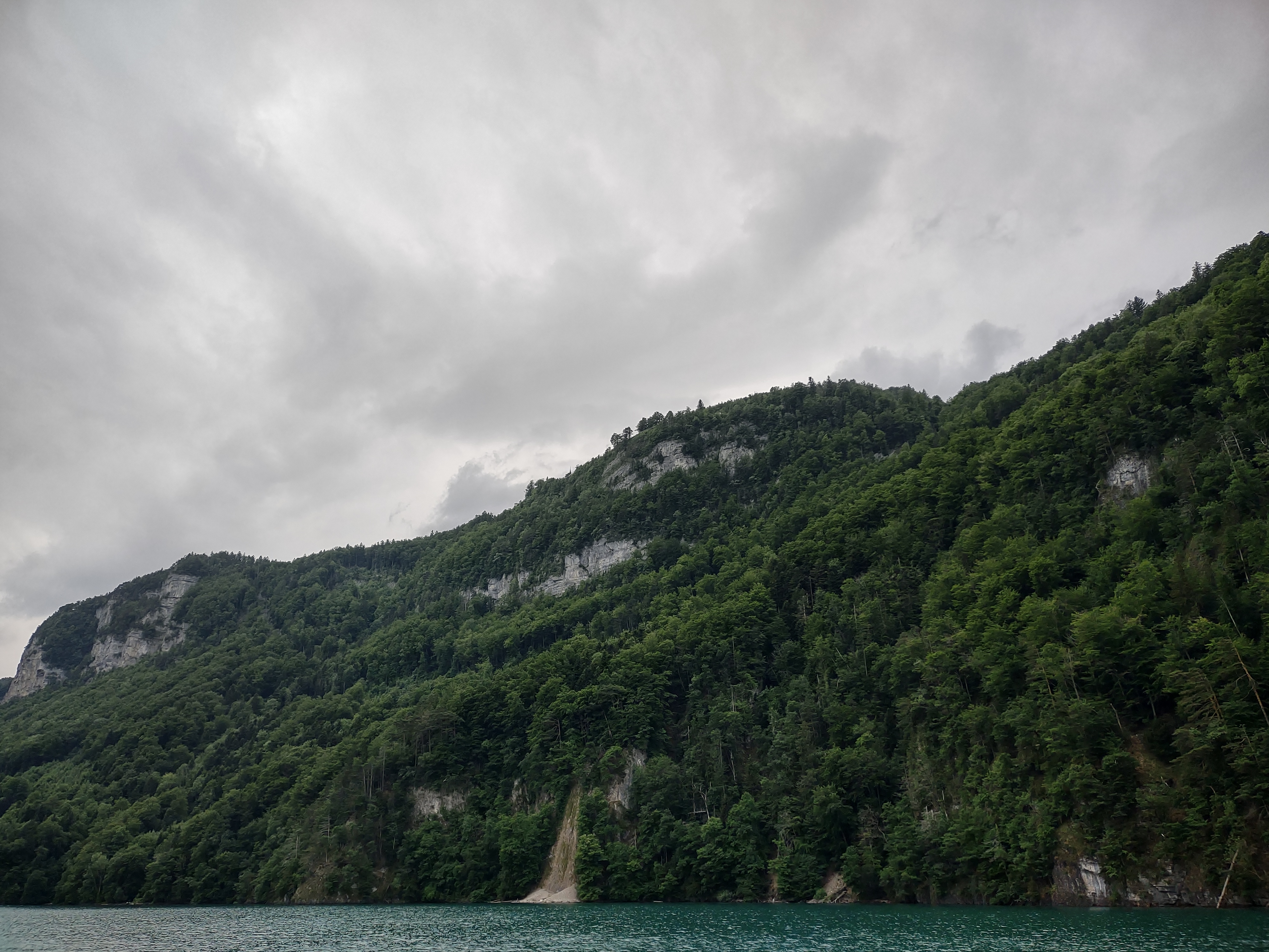
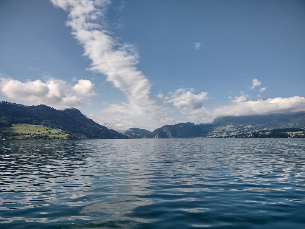
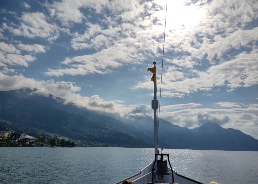
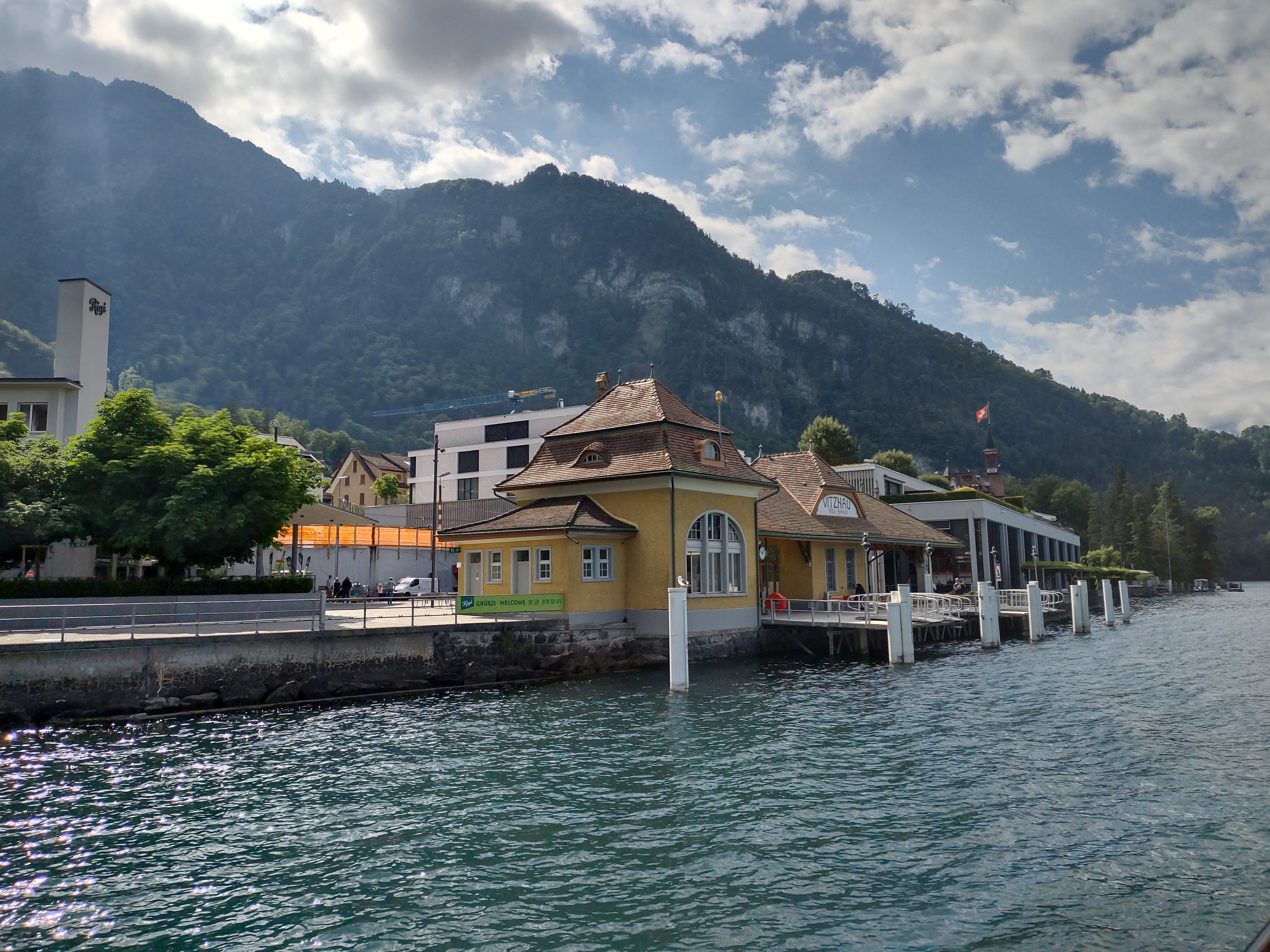
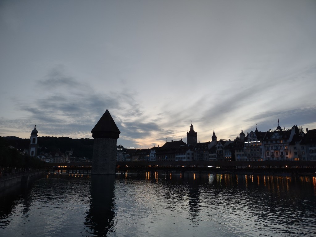
More from the banks of the Rhine in my next post.